Mô tả
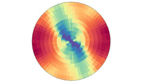
Geostatistics is a class of statistics used to analyze and predict the values associated with spatial data. It incorporates the coordinates of the data within the analyses. Geostatistical tools were originally developed as a practical means to describe spatial patterns and interpolate values for locations where samples were not taken. The mining industry for example uses geostatistics for several aspects of a project: initially to quantify mineral resources and evaluate the project's economic feasibility, then on a daily basis in order to decide which material is routed to the plant and which is waste, using updated information as it becomes available. This course will be an introduction to geostatistics for beginners, in which you will understand the basic terminologies about this science and how they work, a step by step variogram modelling is also covered in this course, it will also serve as a refresher or an introduction for absolute beginners , this course will be a prequiset for the the upcoming resource estimation course.
Students also will get the chance to ask questions about this topic and get feedback , new lectures might be added also based on students needs, so please don't hesitate to ask questions and i'll be more than happy to answer them.
see you in the course.
Bạn sẽ học được gì
Yêu cầu
Nội dung khoá học
Viết Bình Luận
Khoá học liên quan


Đăng ký get khoá học Udemy - Unica - Gitiho giá chỉ 50k!
Get khoá học giá rẻ ngay trước khi bị fix.
Đánh giá của học viên
Bình luận khách hàng