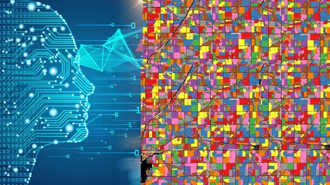
Machine Learning in Spatial Analysis: GIS & Remote Sensing
Loại khoá học: Other IT & Software
Understand & apply machine learning in Geographic information systems and Remote Sensing in QGIS and Google Earth Engine
Mô tả
Machine Learning in GIS : Understand the Theory and Practice
Are you eager to harness the power of Machine Learning for geospatial analysis, but not sure where to start? Welcome to our course, designed to equip you with the theoretical and practical knowledge of Machine Learning applied in the fields of Geographic Information Systems (GIS) and Remote Sensing. Whether you're interested in land use and land cover mapping, classifications, or object-based image analysis, this course has you covered.
Course Highlights:
Theoretical and practical understanding of Machine Learning applications in GIS and Remote Sensing
Application of Machine Learning algorithms, including Random Forest, Support Vector Machines, and Decision Trees
Completion of a full GIS project with hands-on exercises
Utilization of cloud computing and Big Data analysis through Google Earth Engine
Ideal for professionals across various fields
Step-by-step instructions and downloadable practical materials
Course Focus:
This comprehensive course delves into the realm of Machine Learning in geospatial analysis, offering a blend of theory and practical application. Upon course completion, you will possess the knowledge and confidence to harness Machine Learning for a wide range of geospatial tasks.
What You'll Learn:
Installing open-source GIS software (QGIS, OTB toolbox) and proper configuration
Navigating the QGIS software interface, including components and plug-ins
Classifying satellite images with diverse Machine Learning algorithms (e.g., Random Forest, Support Vector Machines, Decision Trees) in QGIS
Conducting image segmentation in QGIS
Preparing your inaugural land cover map using the cloud computing platform Google Earth Engine
Who Should Enroll:
This course caters to a diverse audience, including geographers, programmers, social scientists, geologists, and any professionals who employ maps in their respective fields. If you anticipate tasks that demand state-of-the-art Machine Learning algorithms for tasks like land cover and land use mapping, this course empowers you with the skills to address such geospatial challenges.
INCLUDED IN THE COURSE: Gain access to step-by-step instructions, practical materials, datasets, and guidance for hands-on exercises in QGIS and Google Earth Engine. Enroll today to unlock the potential of Machine Learning for geospatial analysis!
Bạn sẽ học được gì
Fully understand the basics of Machine Learning
Get an introduction to Geographic Information Systems (GIS), geodata types and GIS applications
Fully understand basics of Remote Sensing
Learn open source GIS and Remote Sensing software tools (QGIS, Google Earth Engine and others)
Fully understand the main types of Machine Learning and their applications in GIS
Learn about supervise and unsupervise learning and their applications in GIS
Learn how to apply supervised and unsupervised Machine Learning algorithms in QGIS and Google Earth Engine
Understand what is segmentation, object-based image analysis (OBIA) and predictive modeling in GIS
Learn how to perform image segmentation with Orfeo Toolbox
Understand the main developments in the field of Artificial Intelligence, deep learning and machine learning as applied to GIS
Yêu cầu
- A working computer
Nội dung khoá học
Viết Bình Luận
Khoá học liên quan


![[2023] Master Spring MVC with Java for Beginners](/uploads/courses/udemy/5568212_520b_2.jpg)


Đăng ký get khoá học Udemy - Unica - Gitiho giá chỉ 50k!
Get khoá học giá rẻ ngay trước khi bị fix.
Đánh giá của học viên
Bình luận khách hàng